Global
Asia
Europe
Africa
Oceania
Latin America
Bangladesh - English
China - 简体中文
India - English
Indonesia - Bahasa
Japan - 日本語
Malaysia - English
MENA - English
Philippines - English
South Korea - 한국어
Thailand - ประเทศไทย
Turkey-Türkçe
Vietnam - Tiếng Việt

Online Inquiry
Online Support
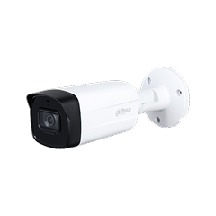
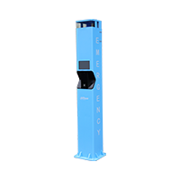
Os níveis de água em rios, canais e lagos afetam diretamente o controlo de cheias, a segurança da drenagem e as operações urbanas. As soluções tradicionais dependem frequentemente de medidores de nível, RTUs e câmaras separados, que são dispendiosos de instalar e difíceis de manter. Ao utilizar deteção integrada do nível da água por radar e vídeo, as autoridades podem obter medições ao nível do milímetro, visualizar as condições no local e associar alarmes a imagens em direto. Isto proporciona dados fiáveis em tempo real para o alerta precoce, o escalonamento de comportas e bombas, e a análise hidrológica a longo prazo.
Install radar water-level detectors along key river sections, urban channels, culverts, reservoirs, dams, and sluice inlets/outlets to continuously track water depth and detect rapid rises or drops. The system filters out wave interference, supports configurable warning thresholds, and links alarms with live video views in the operation center. High-precision data is uploaded to hydrology or water-affairs platforms and combined with rainfall and upstream information for risk assessment. This enables early awareness of flood peaks, backflow, and blockages, and helps decision-makers optimize gate and pump control, discharge strategies, and emergency plans to protect infrastructure and downstream areas.
Now with a fresh new look and lots of added features. Download the app today and enjoy your all-in-one business platform at your fingertips
Download To ensure continuity of service, the previous version of our official website remains available. You may access it via the link provided.
Previous Version