Global
Asia
Europe
Africa
Oceania
Latin America
Bangladesh - English
China - 简体中文
India - English
Indonesia - Bahasa
Japan - 日本語
Malaysia - English
MENA - English
Philippines - English
South Korea - 한국어
Thailand - ประเทศไทย
Turkey-Türkçe
Vietnam - Tiếng Việt

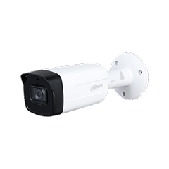
02. กล้องโทรทัศน์วงจรปิดชนิดเครือข่าย แบบมุมมองคงที่สำหรับติดตั้งภายนอกสำนักงาน
04. กล้องโทรทัศน์วงจรปิดชนิดเครือข่าย แบบมุมมองคงที่สำหรับติดตั้งภายนอกอาคาร สำหรับใช้ในงานรักษา ความปลอดภัยทั่วไปและงานอื่นๆ
05. กล้องโทรทัศน์วงจรปิดชนิดเครือข่าย แบบปรับมุมมอง สำหรับใช้ในงานรักษาความปลอดภัยทั่วไปและงาน อื่นๆ
06. กล้องโทรทัศน์วงจรปิดชนิดเครือข่าย แบบมุมมองคงที่สำหรับติดตั้งภายในอาคาร แบบที่ 1 สำหรับใช้ใน งานรักษาความปลอดภัย วิเคราะห์ภาพ และงานอื่นๆ
09. กล้องโทรทัศน์วงจรปิดชนิดเครือข่าย แบบมุมมองคงที่สำหรับติดตั้งภายนอกอาคาร แบบที่ 2 สำหรับใช้ใน งานรักษาความปลอดภัย วิเคราะห์ภาพ และงานอื่นๆ
12. อุปกรณ์บันทึกภาพผ่านเครือข่าย (Network Video Recorder) แบบ 32 ช่อง
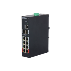
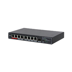
13. อุปกรณ์กระจายสัญญาณแบบ PoE (PoE L2 Switch) ขนาด 8 ช่อง
Dahua Partnership Program
Dahua ECO Partner Program Developer Community Distribution Partner PortalWater levels in rivers, canals, and lakes directly affect flood control, drainage safety, and urban operations. Traditional solutions often rely on separate level gauges, RTUs, and cameras, which are costly to deploy and difficult to maintain. By using integrated radar-and-video water level detection, authorities can obtain millimeter-level measurements, visualize on-site conditions, and link alarms with live images. This provides reliable real-time data for early warning, scheduling of gates and pumps, and long-term hydrological analysis.
Install radar water-level detectors along key river sections, urban channels, culverts, reservoirs, dams, and sluice inlets/outlets to continuously track water depth and detect rapid rises or drops. The system filters out wave interference, supports configurable warning thresholds, and links alarms with live video views in the operation center. High-precision data is uploaded to hydrology or water-affairs platforms and combined with rainfall and upstream information for risk assessment. This enables early awareness of flood peaks, backflow, and blockages, and helps decision-makers optimize gate and pump control, discharge strategies, and emergency plans to protect infrastructure and downstream areas.
Now with a fresh new look and lots of added features. Download the app today and enjoy your all-in-one business platform at your fingertips
Download To ensure continuity of service, the previous version of our official website remains available. You may access it via the link provided.
Previous Version